Myanmar (Burma) — What did we do before mobiles for navigation and recommendations? Are we missing out?

Not getting lost in Yangon
March 2015#
It is an interesting question. What did we do to get around new cities before we had mobiles?
In the “good ol’ days”, we used maps. When travelling, we would wave maps at taxi drivers and people on the street when trying to get to interesting places in a city or country. We were exploring! But, mobile phones have changed all that.
I can’t remember when I last stopped someone on the street to ask for directions or recommendations for a place to visit or eat. These days I will whip out my mobile, fire up maps and get directions for where I want to go, or I will use Foursquare or TripAdvisor for recommendations of places to see or where I can get the best food. I will also use WhatsApp or iMessage (or equivalents) to chat with friends who have been to a particular city or country and ask them for their recommendations.
This is great and works well (until your mobile company throttles back your Internet roaming connection), but are we missing out? Are we missing the best bits of a place by not chatting to the people who know — the locals.
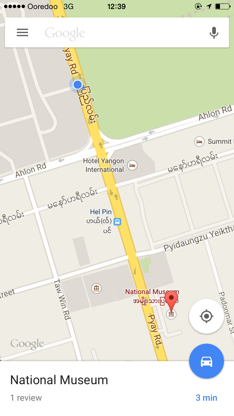
I must admit that mobiles have made taxi journeys easier. These days, I can show the driver a map with where they are and where I want to go (with a suggested route). It is a great way to get across what you want. Plus, you can usually (if using Google) show a photo of where you would like to go. But, it doesn’t always work, and an example of this was when I was trying to get to the Yangon International Museum. Even after showing a driver the map and a photo of the building, and despite his assurances that he knew where he was going, he attempted to drop me 6 km short of my destination. We finally got to the museum, but I felt like a satnav as I talked him to the location.